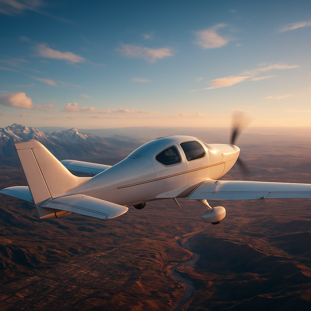
Imagine soaring over the Himalayas, banking a sharp turn above the Eiffel Tower, or buzzing low along the Grand Canyon — all without leaving your desk, downloading a single file, or spending a cent. That's now a reality.
Google has added an experimental flight simulator to its Google Earth web app, allowing anyone on a desktop browser to fly a simple aircraft over streamed 3D terrain without any downloads — and the tool, launched on June 12, 2026, provides an arcade-like flying experience.
It's one of the most exciting free browser features to land in years, and if you haven't tried it yet, this guide will walk you through everything: what it is, how it works, how to get the most out of it, and why it matters.
From Desktop Easter Egg to Global Browser Feature
The Google Earth flight simulator isn't exactly a brand-new invention — but its arrival on the web is genuinely significant.
The flight simulator has actually been around since 2007, when it quietly showed up in Google Earth 4.2 as a hidden Easter egg. You had to know the right keyboard shortcut to find it — Ctrl + Alt + A on Windows or Command + Option + A on Mac — and it let you fly either an F-16 Fighting Falcon or a Cirrus SR22 propeller plane over real-world satellite imagery.
It got popular enough that by 2008, Google made it an official feature with its own menu option in Google Earth 4.3, and from there it stuck around as a favourite for casual aviation fans who used it to explore airports and geography around the world.
For the past decade-plus, however, it was only available in the downloadable desktop version of Google Earth. The web release marks the first time it's been fully accessible in a browser — a significant upgrade for anyone who didn't want to install the full desktop app just to go for a virtual flight.
Now,
flight simulator is available globally on web to all users, as Google itself announced — noting that it had recently added many of its most powerful professional desktop features to the web, including elevation profiles and new import types, but there was always one other feature users had been asking to add to the web version: the flight simulator.
What Exactly Is the Google Earth Browser Flight Simulator?
Before you fire up the throttle, it's worth setting the right expectations.
The flight simulator is only available on Google Earth on the web, and it features simplified flight physics — designed for casual exploration rather than high-fidelity aerodynamic training.
Think of it less as a rival to Microsoft Flight Simulator and more as a supercharged way to explore our planet from the air.
The platform is built on Google Earth's extensive geospatial framework, which compiles satellite imagery, aerial photography, and elevation data to construct a digital representation of Earth. Over time, this system has evolved from a static mapping tool into an interactive environment capable of rendering detailed global landscapes, cities, and natural formations in three dimensions — and the flight simulator extends this capability into real-time aerial navigation.
The simulation introduces a unified global space where destinations such as Paris, Tokyo, New York, Dubai, and London are no longer isolated map points but interconnected environments. Users can move seamlessly across continents, transitioning from dense urban skylines to remote natural landscapes without interruption.
As you fly, 3D buildings and high-resolution imagery stream in dynamically, though flying at extreme speeds or over low-bandwidth connections may result in temporary loading delays.
No login, regional limits, or paid tier is required, turning what used to be a hidden desktop Easter egg into a free global experience.
How to Access the Google Earth Flight Simulator Right Now
Getting airborne is remarkably straightforward. Here's the step-by-step process:
Fire up Chrome, Edge, or any modern browser and head to earth.google.com.
At the top of the home screen, click Explore Earth.
Open the Tools menu in the top menu bar and select Flight Simulator from the menu.
A small aircraft — resembling a propeller-driven Cessna or ultralight — appears at your current viewpoint, with a head-up display (HUD) flashing altitude, speed, and heading, and mouse or keyboard controls becoming active instantly.
One handy tip:
by default, the flight simulator displays the abstract basemap without terrain. To view photorealistic satellite imagery, change the basemap type from Map to Satellite.
This makes a massive difference to the visual experience — you'll want to see the actual Earth beneath your wings.
Mastering the Controls: Keyboard, Mouse, and More
The controls have a short learning curve, but once they click, flying becomes genuinely enjoyable.
The aircraft can be controlled by using the up, down, left, and right arrow keys on your keyboard, and the speed of the plane can be controlled using the Page Up and Page Down keys.
Alternatively, you can click on the power gauge on the right-hand side of the screen
to adjust thrust if you don't have dedicated Page Up/Down keys (a common issue on Mac laptops).
You can monitor everything that's happening on your flight with the head-up display (HUD).
The HUD shows critical information like altitude, airspeed, and heading, giving you a real sense of piloting an aircraft.
If you crash — and you almost certainly will on your first few attempts — don't worry.
If your aircraft makes direct impact with the ground terrain, the simulation will pause, and you simply click "You crashed! Restart" to instantly restore your aircraft at a safe, playable altitude and coordinates.
When you're ready to wrap up your session,
click the back arrow in the upper-left corner of the flight simulator to safely exit the simulation and return to the standard Google Earth map view.
Google Earth Flight Simulator vs. Microsoft Flight Simulator
The elephant in the room: how does this stack up against the gold standard of flight simulation? The honest answer is that they're not really competing for the same audience.
While Google Earth's flight simulator provides a visually stunning experience leveraging Google's extensive satellite imagery, it is relatively basic compared to dedicated simulation software like Microsoft Flight Simulator or X-Plane 12, lacking complex flight dynamics or systems modelling and making it more suitable for casual flying rather than hardcore simulation.
Google's fun project has little in common with a full-fledged flight simulator — Microsoft's "real" flight simulator relies on Bing map data for its photorealistic world, and the three-dimensional world and object data, originally released in 2020, are more than 2.5 petabytes in size.
But here's the thing: Google Earth's simulator doesn't need to be a serious sim to be worthwhile.
For users accustomed to heavyweight simulators, this lightweight browser tool opens a frictionless window into globe-trotting fun — no SSD space sacrificed, no GPU meltdowns.
And unlike Microsoft Flight Simulator,
you don't need to pay for it.
For educators, curious travellers, geography enthusiasts, and anyone who just wants five minutes of aerial fun on a lunch break, the Google Earth browser simulator is a no-brainer.
Who Is the Google Earth Flight Simulator For?
The short answer: almost everyone.
It affects casual users, students, aviation enthusiasts, and digital travellers alike.
- Students and educators can use it to explore geography in a genuinely engaging way, flying over mountain ranges, river deltas, and major cities with real satellite data beneath them.
- Travel enthusiasts can scout destinations from the air before visiting — or simply scratch that wanderlust itch from the comfort of home.
- Aviation hobbyists who want a taste of flight without the expense of a full simulator setup will find it refreshingly accessible.
- Casual users who just want something fun and different will appreciate how quickly they can get off the ground.
It turns passive viewing into active flying, making it more like a learning game than a mapping tool — bridging the gap between aviation curiosity and real-world geography.
Practical Tips to Get the Most Out of Your First Flight
Ready to take off? Here are actionable tips to make your experience smoother from the moment you load the simulator:
- Start slow.
Based on testing the feature on a broadband connection, slower speeds are best for giving details time to load.
Don't floor the throttle immediately — ease into it.
- Switch to Satellite view. Before you launch, toggle the basemap to Satellite for full photorealistic imagery. Abstract maps make it harder to navigate landmarks.
- Search your destination first.
You'll instantly load the flight simulator at whatever your current location is — so search for a specific city or landmark before launching and you'll spawn right above it.
- Be gentle with the controls. The physics are simplified but the plane is still sensitive. Small, deliberate inputs on the arrow keys will serve you far better than rapid tapping.
- Use the HUD religiously. Watch your altitude constantly, especially when flying in mountainous regions.
It takes a while to master the basics, especially controlling thrust and altitude to prevent crashing.
- Pause when needed.
Press the spacebar to pause a flight, then press it again to resume.
This is handy when you want to take in a view or troubleshoot your heading.
- Try a joystick.
There is joystick support, so if you have one, use it — it enhances control over the aircraft and makes your flight smoother.
- Fly over cities with 3D buildings.
Major metropolitan regions are rendered with detailed 3D building structures
— flying low over New York or Dubai is a genuinely jaw-dropping experience.
The Bigger Picture: Google Earth Is Getting Serious About the Web
The flight simulator is part of a broader push by Google to bring professional-grade Earth features to the browser.
Google also recently added a few other desktop features to the web version, including elevation profiles and new file import options.
The addition of the flight simulator shows how much Google is bringing into the web version of Google Earth — tools that once felt tied to desktop software are becoming easier to access in a browser.
That matters because Google Earth is not only a map viewer — it is also a storytelling, education, and exploration platform, and features like elevation profiles, import options, and now the flight simulator make the web version more useful for both casual and advanced users.
Virtual exploration is no longer passive scrolling — it is becoming experiential simulation.
The flight simulator is a clear signal of where Google Earth is heading: a fully interactive, immersive platform for understanding and experiencing the world.
Conclusion
Google Earth's browser-based flight simulator is one of those rare features that manages to be genuinely fun, completely free, and surprisingly educational all at once. Whether you're a lifelong aviation enthusiast, a geography teacher looking for a new classroom tool, or someone who simply wants a few minutes of escapism above the clouds, this is a tool worth exploring right now. The barrier to entry couldn't be lower:
Google Earth is free to use, and as a web application, there isn't anything to install.
Ready to take the controls? Head to earth.google.com, click "Explore Earth," open the Tools menu, and select "Flight Simulator." Your runway is the entire planet — so the only question is: where in the world will you fly first? Share your best flyovers, your most scenic routes, and your most spectacular crashes in the comments below, and don't forget to bookmark this page for when you want to revisit the controls guide.